Karlsfelder See (Lake Karsfeld)
Karlsfelder See (Lake Karsfeld)
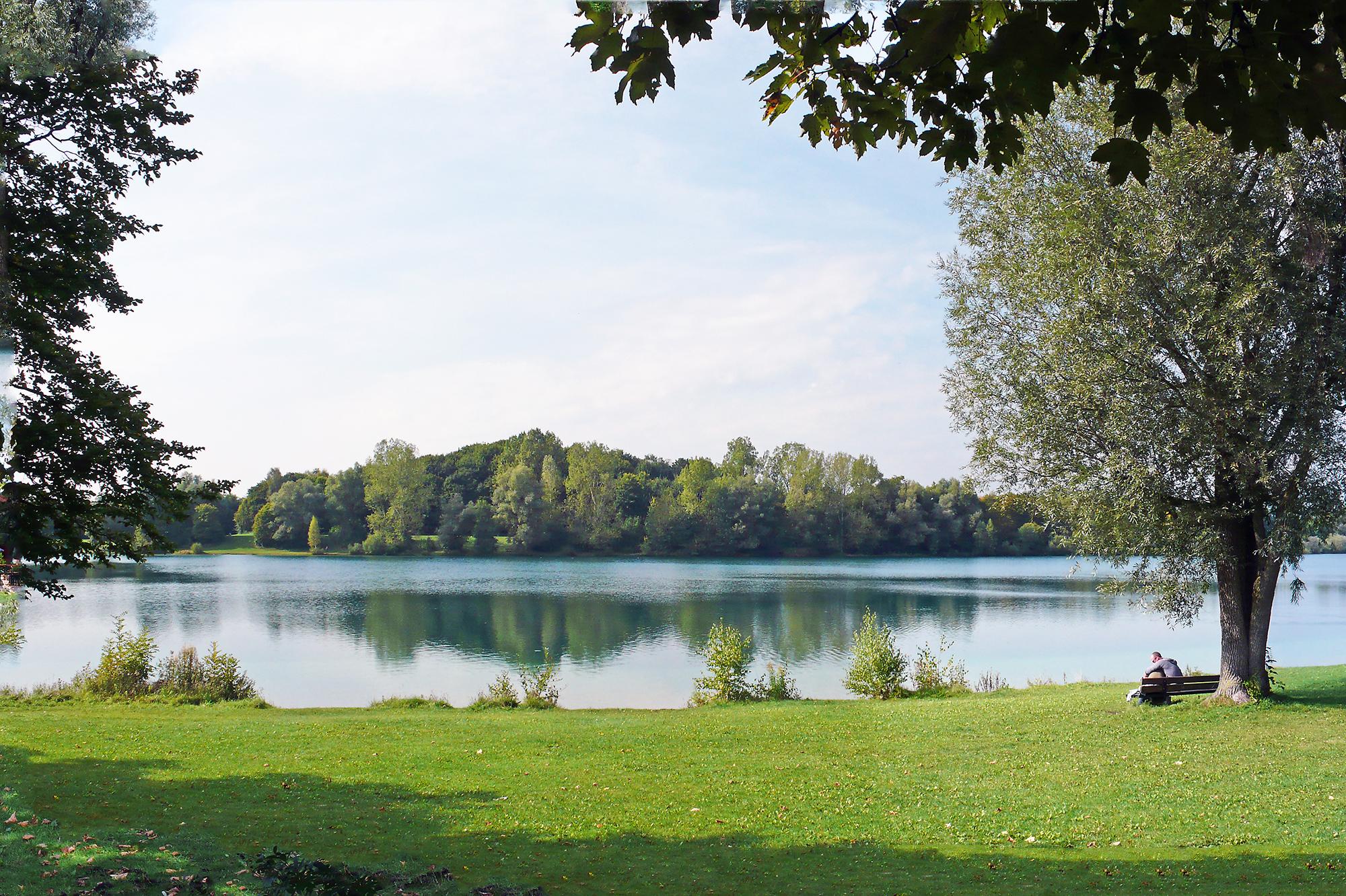
At the beginning of the 1940s when in Munich-Moosach the marshalling yard was built a lot of gravel was needed. The cavity where the gravel was taken from gradually filled up with water – this way Karlsfelder See developed. After the Second World War the US Army used the lake as military training ground. Between 1971 and 1976 the grounds where redesigned. A recreation area with a swimming lake was built.
Karslfelder See is about 980 meters long and 250 meters wide. All around the lake there are meadows of about 17 hectares with many trees as well as cycling paths and walks, two restaurants with beer gardens, two volley ball courts, table tennis facilities, several playgrounds and barbecue areas.
You can display Google's 3D map by clicking on the image below. A connection to the Google servers is only established with this click. Please read our information on Privacy Policy.
Karlsfelder See at a glance!
Photos
Karlsfelder See *
Karlsfelder See - Map

Listen to Informations of Karlsfelder See as audio
QR-Code Mobile-Version

Address and Links
* Photo: By Guido Radig (Own work) [CC-BY-3.0], via Wikimedia Commons
* Background image: By Guido Radig (Own work) [CC-BY-3.0], via Wikimedia Commons

