Altstadt-Lehel (Old Town - City Centre)
Altstadt-Lehel (Old Town - City Centre)
The historic city of Munich comprises several districts or “Stadtbezirke“: Hackenviertel, Kreuzviertel, Angerviertel and Graggenau. In the northern part of this district is the southern part of the English Garden and the borough Lehel.
The historic city is bordered by the Altstadtring. Apart from the Galeriestraße and Brienner Straße in the north of the borough and the roads Müllerstraße and Rumfordstraße this ring road sourrounds the historic city.
Lehel is situated between the river Isar and the Königinstraße. The northern part of the Museum island (Museumsinsel) and the Prater island (Praterinsel) are part of this borough. Besides many historic attractions, the main shopping area with numerous exclusive shops is situated within the historic city of Munich.
Altstadt-Lehel at a glance!
Photos
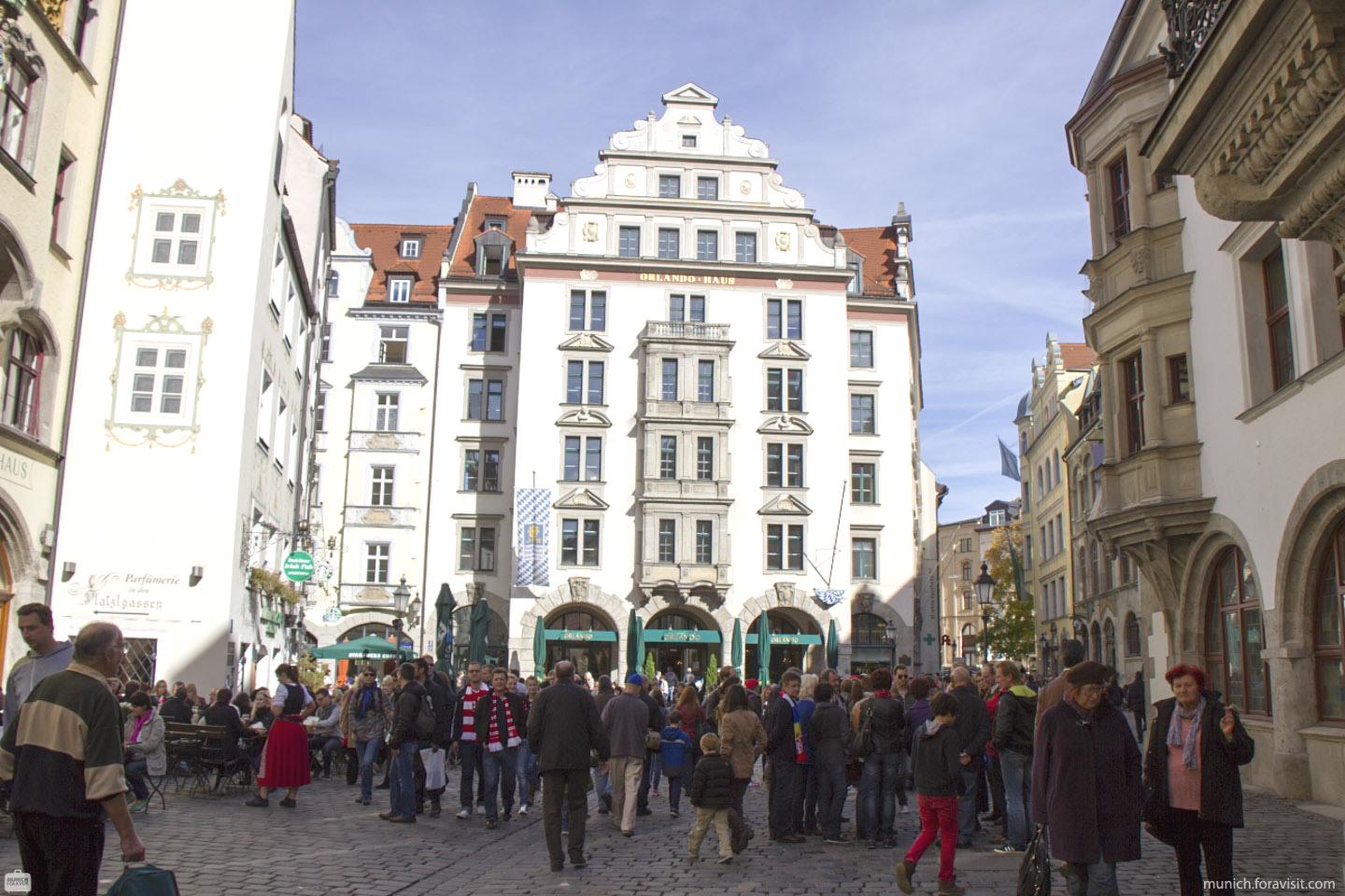
The Orlandohaus at the Platzl
Altstadt-Lehel - Map