Untergiesing-Harlaching
Untergiesing-Harlaching
In the southeast of Munich on the high terrace of the river Isar Untergiesing-Harlaching is situated. Compared to Obergiesing Untergiesing was formed only in the 19th and 20th century. Originally there were nearly no settlements in this area only some mills existed. Iron Age findings discovered that the district Harlaching has been a very old settlement. The church in the historic centre of Harlaching, St.-Anna-Kicherl is worth a visit.
Untergiesing-Harlaching at a glance!
Photos
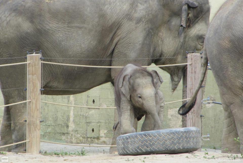
Animal park Hellabrunn
Untergiesing-Harlaching - Map

Listen to Informations of Untergiesing-Harlaching as audio
QR-Code Mobile-Version

Address and Links
* Background image: By Gras-Ober (Own work) [CC BY-SA 3.0 or GFDL], via Wikimedia Commons

