Obergiesing-Fasangarten
Obergiesing-Fasangarten
In 1854 the former farming village Giesing became part of Munich. Today it is divided in Obergiesing, Untergiesing and Harlaching. This borough is part of Munich’s urban fringe close to the Perlacher Forst, a forest on the outskirts of Munich.
In the 1920s a settlement was built in Obergiesing which is called Fasanengarten. With mostly detached houses this part of the borough has developed its own character.
Obergiesing-Fasangarten at a glance!
Photos
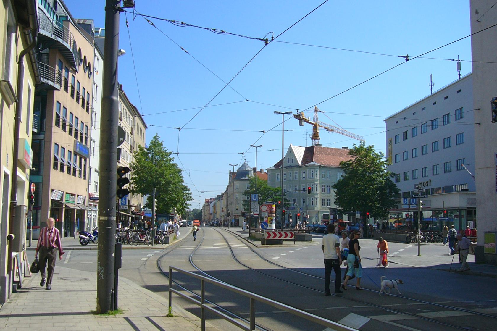
Tegernseer Platz (Place) *
Obergiesing-Fasangarten - Map

Listen to Informations of Obergiesing-Fasangarten as audio
QR-Code Mobile-Version

Address and Links
Obergiesing-Fasangarten
* Photo: By User:Mattes (Own work) [Public domain], via Wikimedia Commons
* Background image: By Rufus46 (Own work) [CC BY-SA 3.0 or GFDL], via Wikimedia Commons

