Schwanthalerhöhe
Schwanthalerhöhe
Schwanthalerhöhe (locals call this area Westend) is Munich’s eights borough. It is the most densely populated part of Munich. Locals call this area “Multi-Kulti-Viertel”, too, because people from all over the world live here. About 33% of the population in this borough are foreign nationals, for Munich quite a high percentage.
Originally the Westend was planned to be a worker area. Still today a business park is situated at Schwanthalerhöhe with several handicraft businesses and the Munich technology centre.
In the former exhibition and trade fair centre north of Theresienwiese today the traffic centre of the Deutsche Museum resides.
Schwanthalerhöhe at a glance!
Photos
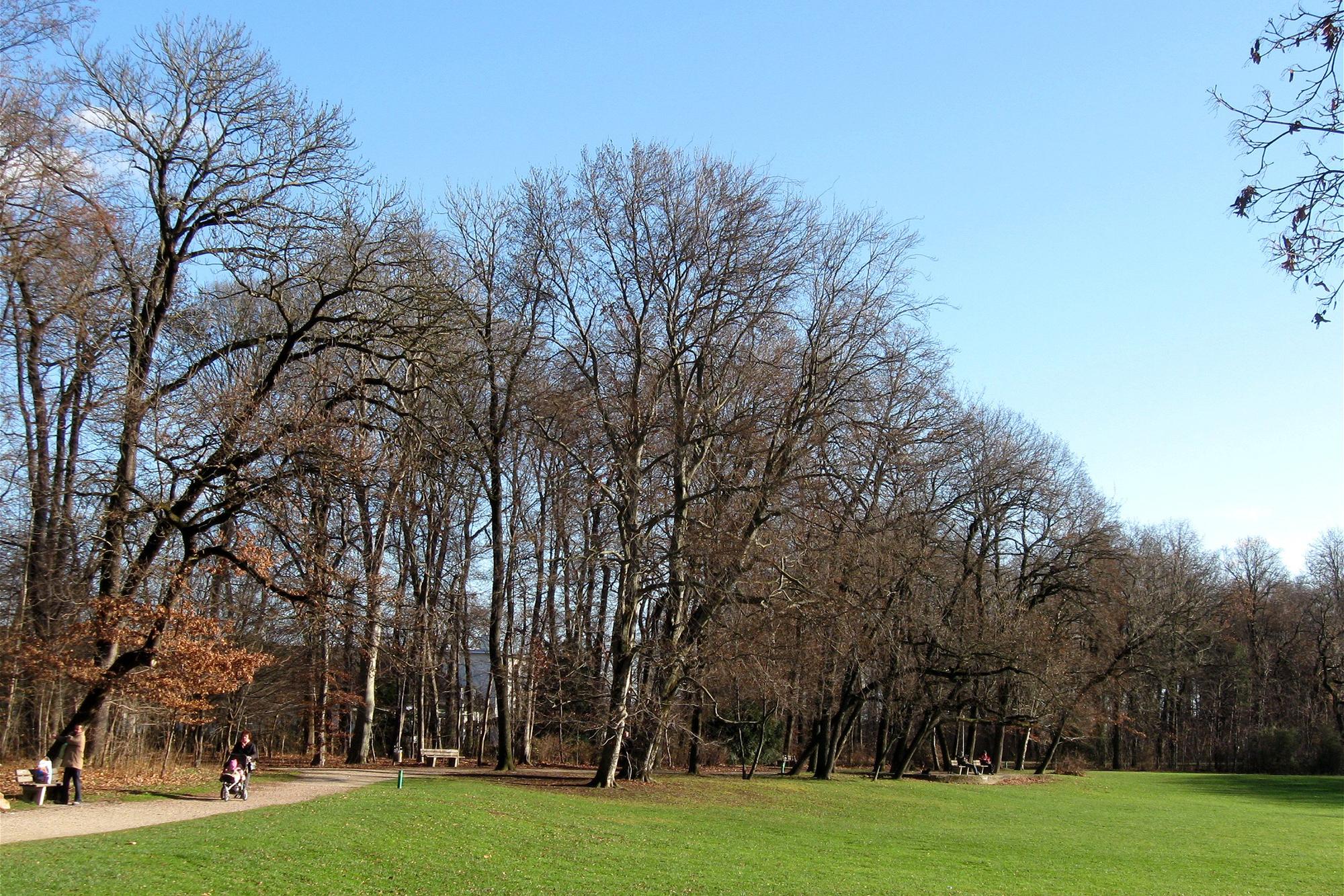
The Bavariapark *
Schwanthalerhöhe - Map

Listen to Informations of Schwanthalerhöhe as audio
QR-Code Mobile-Version

Address and Links
Schwanthalerhöhe
* Photo: By Rufus46 (Own work) [CC-BY-SA-3.0 or GFDL], via Wikimedia Commons

