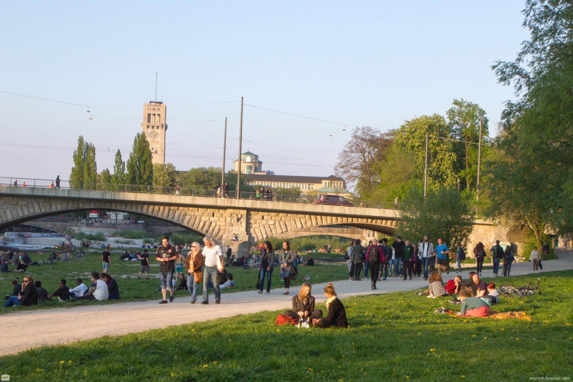
Swimming in the river Isar - Isarvorstadt
Swimming in the river Isar - Isarvorstadt
According to the Munich swimming regulations (BootVO 360) swimming is allowed in the following area:
From Braunauer Eisenbahnbrücke (Braunauer railroad bridge) up to 50 meters above Reichenbachbrücke, on the right site (eastern part) of the river. But within this distance swimming is not allowed 20 meters above and 40 meters beneath the Wittelsbacher Brücke (Wittelsbach bridge).
You can display Google's 3D map by clicking on the image below. A connection to the Google servers is only established with this click. Please read our information on Privacy Policy.
Isar in der Isarvorstadt at a glance!
Photos
Isar in der Isarvorstadt
Isar in der Isarvorstadt - Map

Listen to Informations of Isar in der Isarvorstadt as audio
QR-Code Mobile-Version

Address and Links
Isar in der Isarvorstadt