Pasinger Stadtpark (City Park Munich Pasing)
Pasinger Stadtpark (City Park Munich Pasing)
Right at Pasing railway station the city park Pasing begins. To the southwest it extends to the suburb Gräfelfing. To the northeast it extends to the park around Blutenburg Castle.
1815 Kind Maximlian I. constructed a park around its country house, the Prinz Carl Manor.
Today the river Würm flows through the 18-hectar park. Meadows are ideal for ball games, natural trees are great to climb and there are many small paths for walks. The old parish church connects the City Park Pasing to the monastery garden.
You can display Google's 3D map by clicking on the image below. A connection to the Google servers is only established with this click. Please read our information on Privacy Policy.
Pasinger Stadtpark at a glance!
Photos
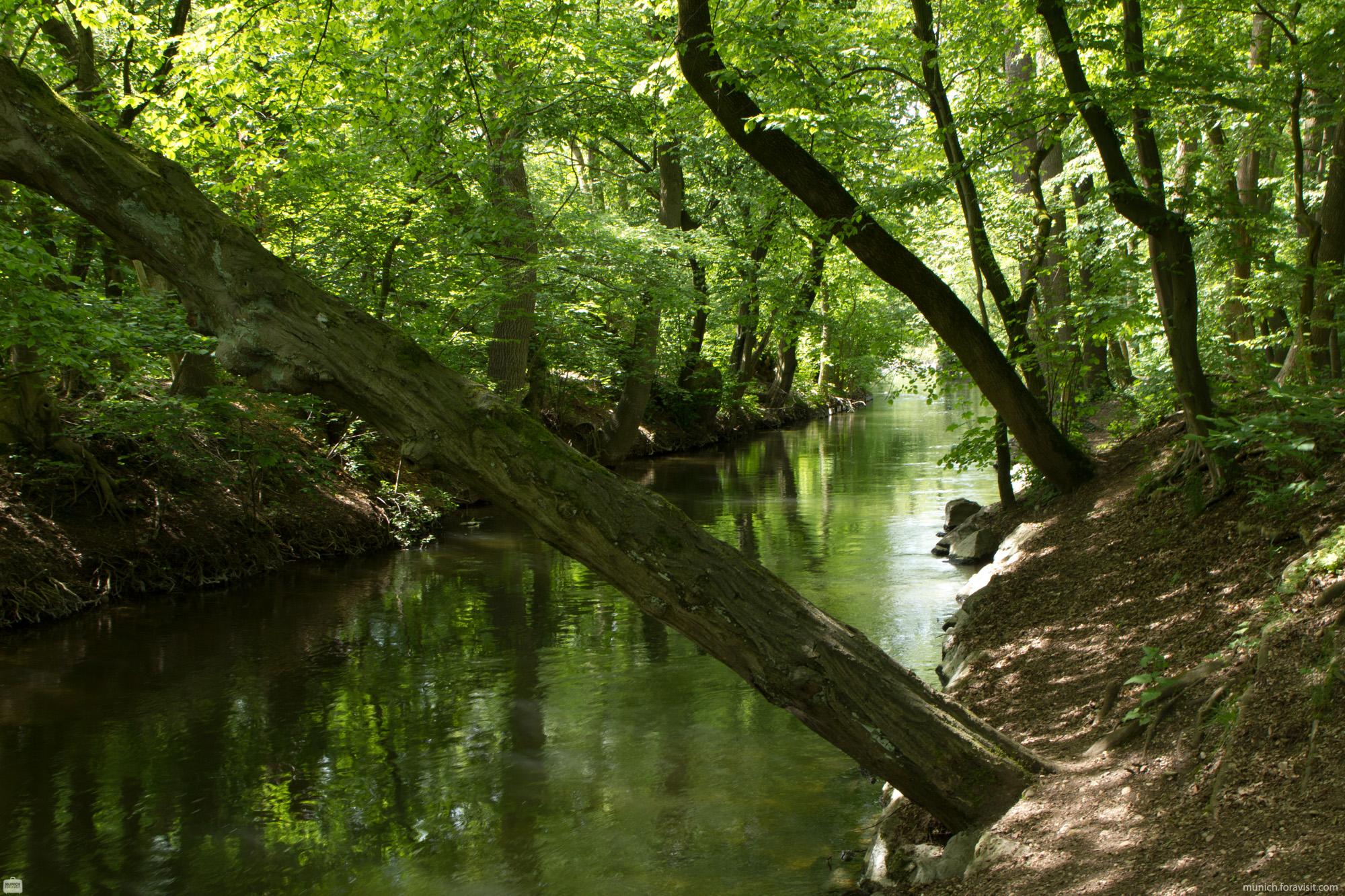
The small river Würm
Pasinger Stadtpark - Map