Angerlohe
Angerlohe
Angerlohe, another woodland of about 40 hectares is the remainder of the former wooded belt around Munich. It is an oak and beech forest which was used in the past for firewood exploitation. And this is where still in some parts its light character comes from.
Woodlands with the word “Lohe” in their name indicate a forest in the Munich area that is situated on upper crushed rock area which borders on the woodlands of “Aubinger, Karlsfelder-Ludwigsfelder and Erdinger Moos” that in the past formed a wooded belt.
You can display Google's 3D map by clicking on the image below. A connection to the Google servers is only established with this click. Please read our information on Privacy Policy.
Angerlohe at a glance!
Photos
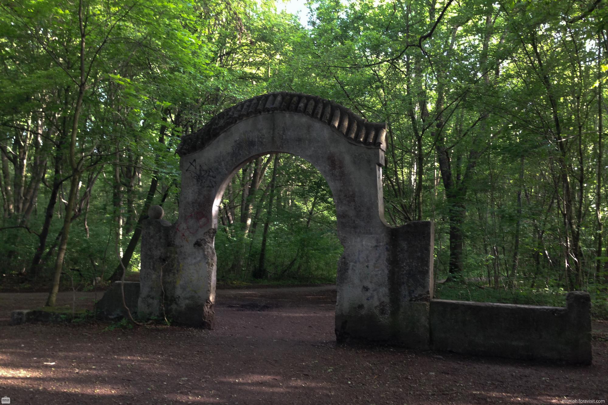
Old Entry
Angerlohe - Map

Listen to Informations of Angerlohe as audio
QR-Code Mobile-Version

Address and Links
Text: muenchenwiki